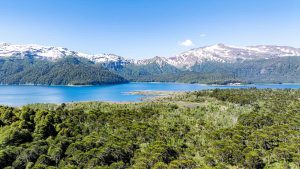
In the heart of the La Araucanía Region, Conguillío National Park hides one of Chile’s most prehistoric and cinematic landscapes, with ancient araucaria trees, lava flows from the Llaima Volcano, and glacial lakes that seem frozen in time.
It’s no coincidence that the BBC chose this park to film scenes for its iconic documentary Walking With Dinosaurs, specifically in the episode Death of a Dynasty, where Late Cretaceous ecosystems are recreated.
Below, we’ll tell you why visiting this park feels like stepping into a true “lost world”.
Why does Conguillío look like a dinosaur movie set?
Conguillío National Park is just over two hours by car from Temuco, the regional capital and the area’s main air hub. From there, the road to the park already hints at what’s to come: volcanic landscapes, dense forests, and nature that feels untouched for millions of years.
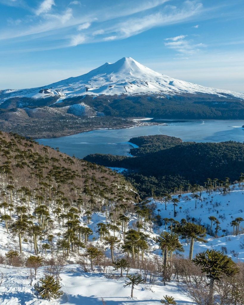
More than 390 plant species have been recorded here! Among them, the araucaria trees stand out—trees whose lineage already existed when dinosaurs ruled the Earth more than 145 million years ago.
What’s more, the landscape is shaped by the presence of Llaima Volcano, one of the most active in South America. In the past, its eruptions sculpted the terrain with solidified lava, black slag fields, and rocky walls. Meanwhile, glacial lakes, mist drifting through the forests, and the deep silence of the place complete an awe-inspiring atmosphere.
What are the best trails in Conguillío?
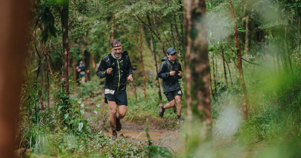
If you want to feel like Alan Grant exploring Jurassic Park, here are some of the best trails in Conguillío National Park to live out your own adventure movie:
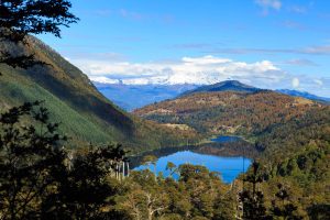
- Sierra Nevada Trail: After about a 3-hour hike, you’re rewarded with a panoramic view of Lake Conguillío and the imposing Llaima Volcano.
- Los Carpinteros Trail: One of the park’s best routes, crossing ancient forests and prehistoric landscapes on a 3- to 4-hour hike. It leads to the Araucaria Madre, a tree with an estimated age of 1,800 years.
- Truful-Truful Sector: Its easy-access trails pass waterfalls and huge rock walls shaped by ancient eruptions of Llaima Volcano. Ideal for the whole family, with a duration of 30 minutes.
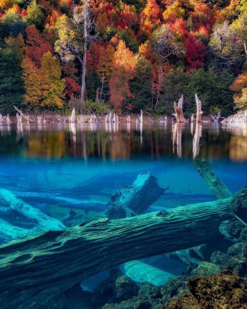
- Laguna Arcoíris Trail: A hike of about 45 minutes. Here you can see trunks from an ancient forest affected by past volcanic eruptions.
How to get to Conguillío National Park from Temuco?
Getting to the park from Temuco is already part of the experience. The route crosses forests and volcanic landscapes that set the park’s Jurassic atmosphere even before you enter. From Temuco there are two main routes:
- Via Melipeuco (south access): Approximately 115 to 120 km total (about 90 km paved to Melipeuco and the rest gravel to the park).
- Via Curacautín (north access): Approximately 115 to 120 km total (about 83 km paved to Curacautín and around 34 km of gravel to the Captrén/Laguna sector).
Much of the roads are gravel, and in winter some sections may require a 4×4 vehicle. Before traveling, it’s recommended to check road conditions and the weather forecast.
What is the best time to visit Conguillío National Park?
Each season completely transforms the park’s landscape and offers a different experience for travelers. That’s why many come back more than once: Conguillío never looks the same.
- Summer: Ideal for trekking, panoramic trails, and lagoons.
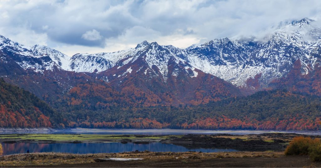
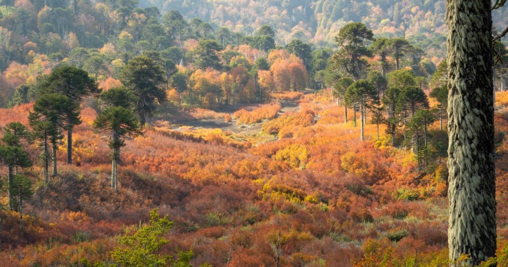
- Autumn: Reddish forests and cinematic landscapes among araucaria trees. Many travelers consider it offers some of Chile’s most spectacular autumn scenery.
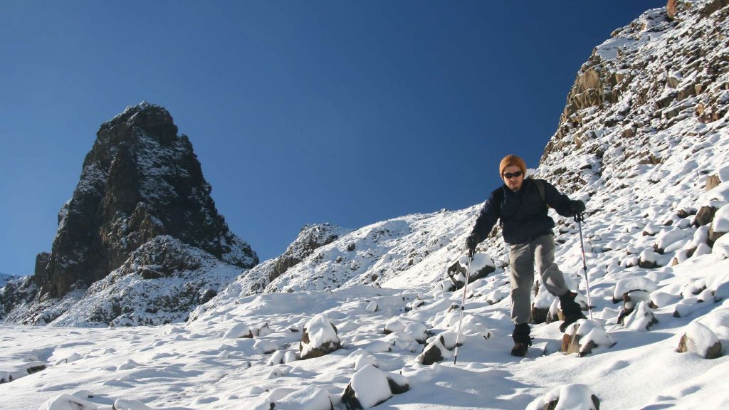
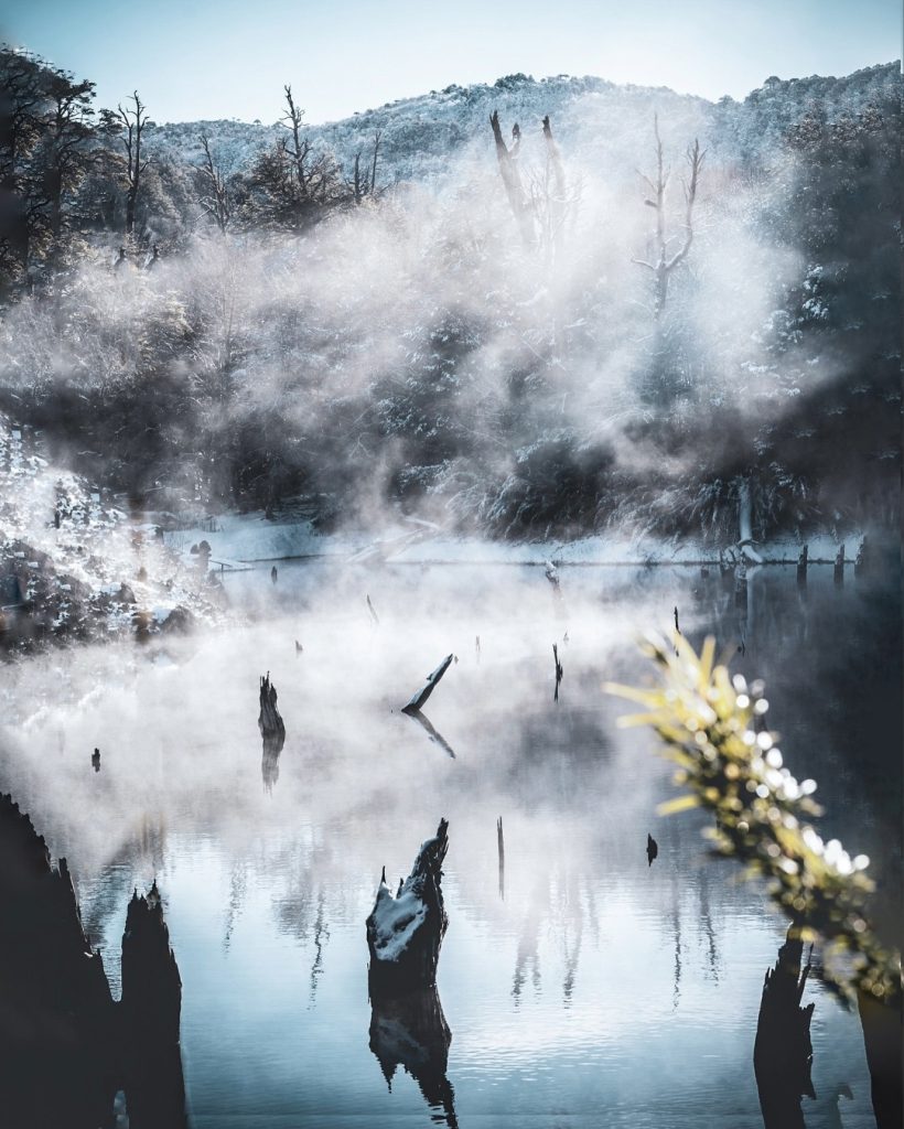
- Winter: Snow, volcanoes, and landscapes that look like they’re from another planet.
- Spring: Active waterfalls, wildflowers, and clear skies.